

2021 NANTUCKET CHALLENGE
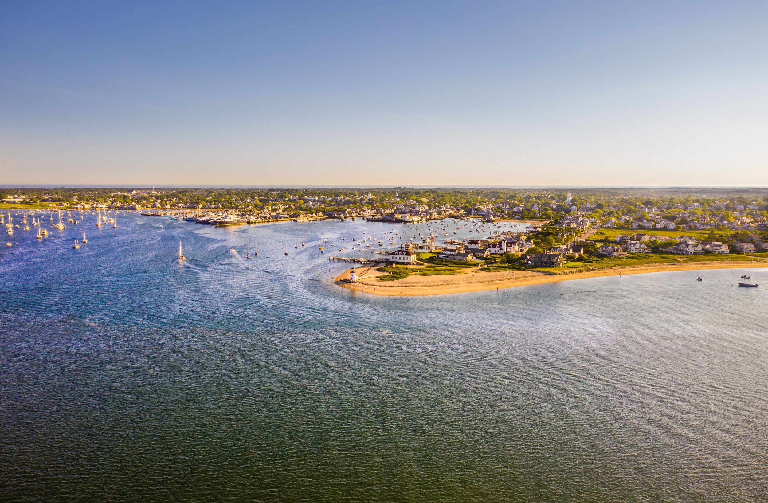
Nantucket Island is among hundreds of U.S. cities and towns threatened by sea level rise. By 2100, much of Nantucket’s Historic Downtown is projected to be inundated by water.
Long known for its history of economic and environmental resilience, the Nantucket Island community has come together to discuss, evaluate, and strategize solutions for living with the water. Inspired to consider through an innovative and hopeful lens how a community may look under stark sea level rise projections, ReMain Nantucket introduced the Envision Resilience Nantucket Challenge.
“Society grows great when old men plant trees whose shade they know they shall never sit in.”
The Challenge, by way of a spring 2021 design studio, calls on interdisciplinary teams of graduate students from leading design universities to reimagine Nantucket Harbor under the latest projections of sea level rise. Teams will be tasked to create visually impactful designs and propose adaptations and innovations that will enable coastal communities to actually imagine what our futures under sea level rise and climate impacts may look like. The teams will work with 22 local and regional advisors with expertise in conservation, public works, real estate, architecture, historic preservation, natural resources, art, marine biology, fisheries, civil engineering, science, and transportation; and will look to the insights and narratives of Nantucket residents for context and inspiration.
The Challenge, by way of a spring 2021 design studio, calls on interdisciplinary teams of graduate students from leading design universities to reimagine Nantucket Harbor under the latest projections of sea level rise. Teams will be tasked to create visually impactful designs and propose adaptations and innovations that will enable coastal communities to actually imagine what our futures under sea level rise and climate impacts may look like. The teams will work with 22 local and regional advisors with expertise in conservation, public works, real estate, architecture, historic preservation, natural resources, art, marine biology, fisheries, civil engineering, science, and transportation; and will look to the insights and narratives of Nantucket residents for context and inspiration.
Video courtesy of Joshua B. Grey of the Dreamland Theater

Design by Camila Zablah, Paula Christina Viala, Thomas Long and Tanner Wall 2021 (University of Miami, Professor Sonia Chao)

Design by Camila Zablah, Paula Christina Viala, Thomas Long and Tanner Wall 2021 (University of Miami, Professor Sonia Chao)

Design by Celine Haddad, Ana Hernandez, Alex Boucher and Christopher Rubio 2021 (University of Florida, Professor Jeff Carney)

Design by Suzanne Tielemans 2021 (University of Florida, Professor Jeff Carney)

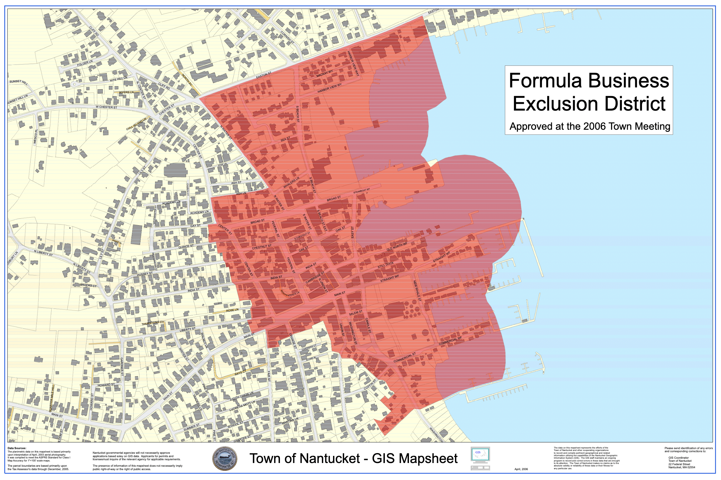
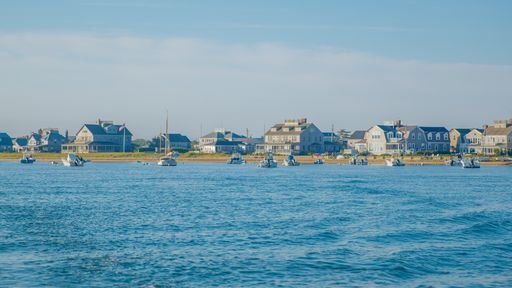
Selected Sites
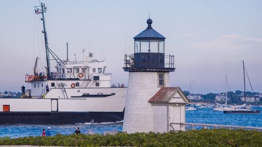
Brant Point

Washington Street

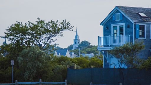
Downtown

Brant Point
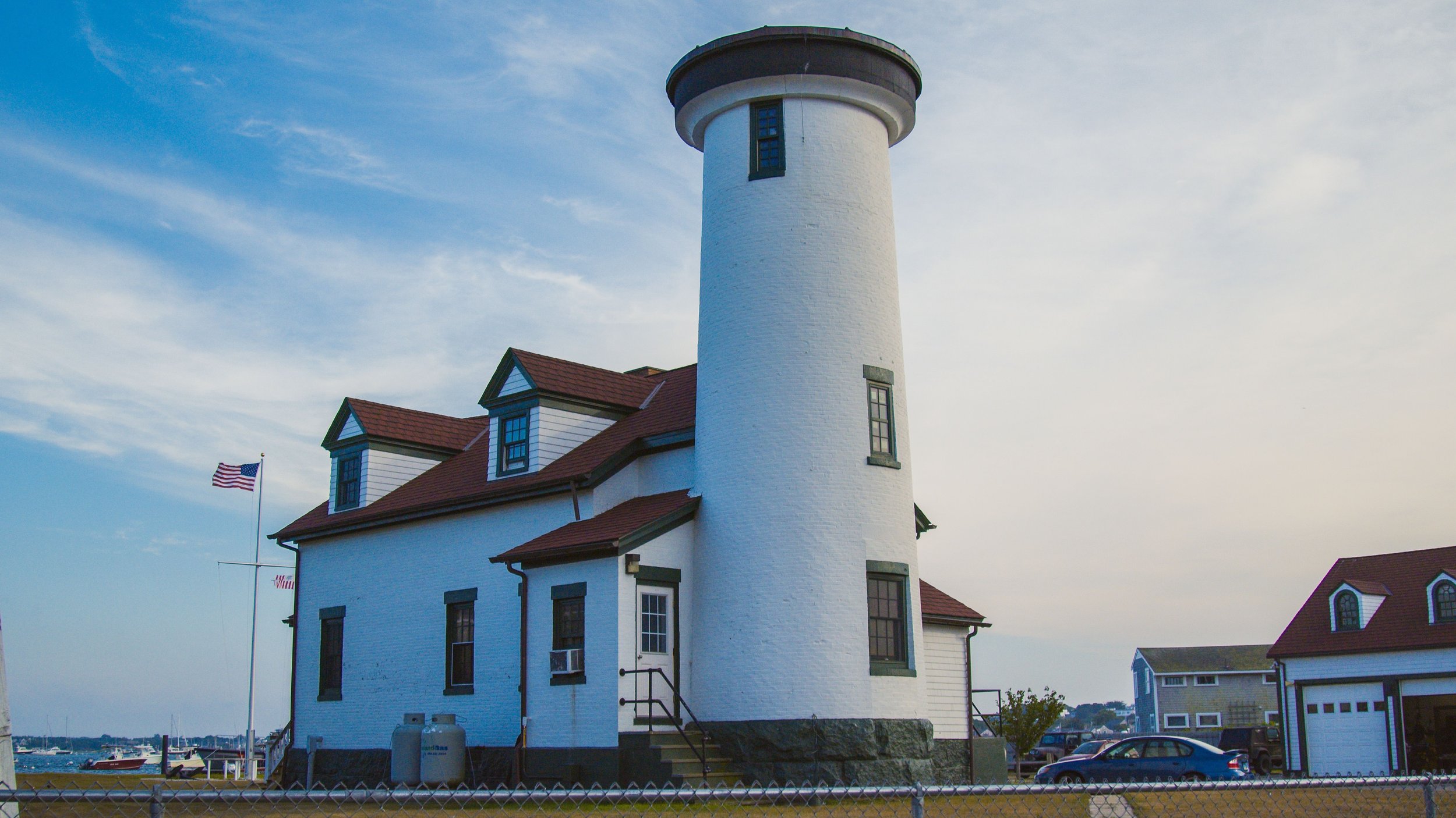
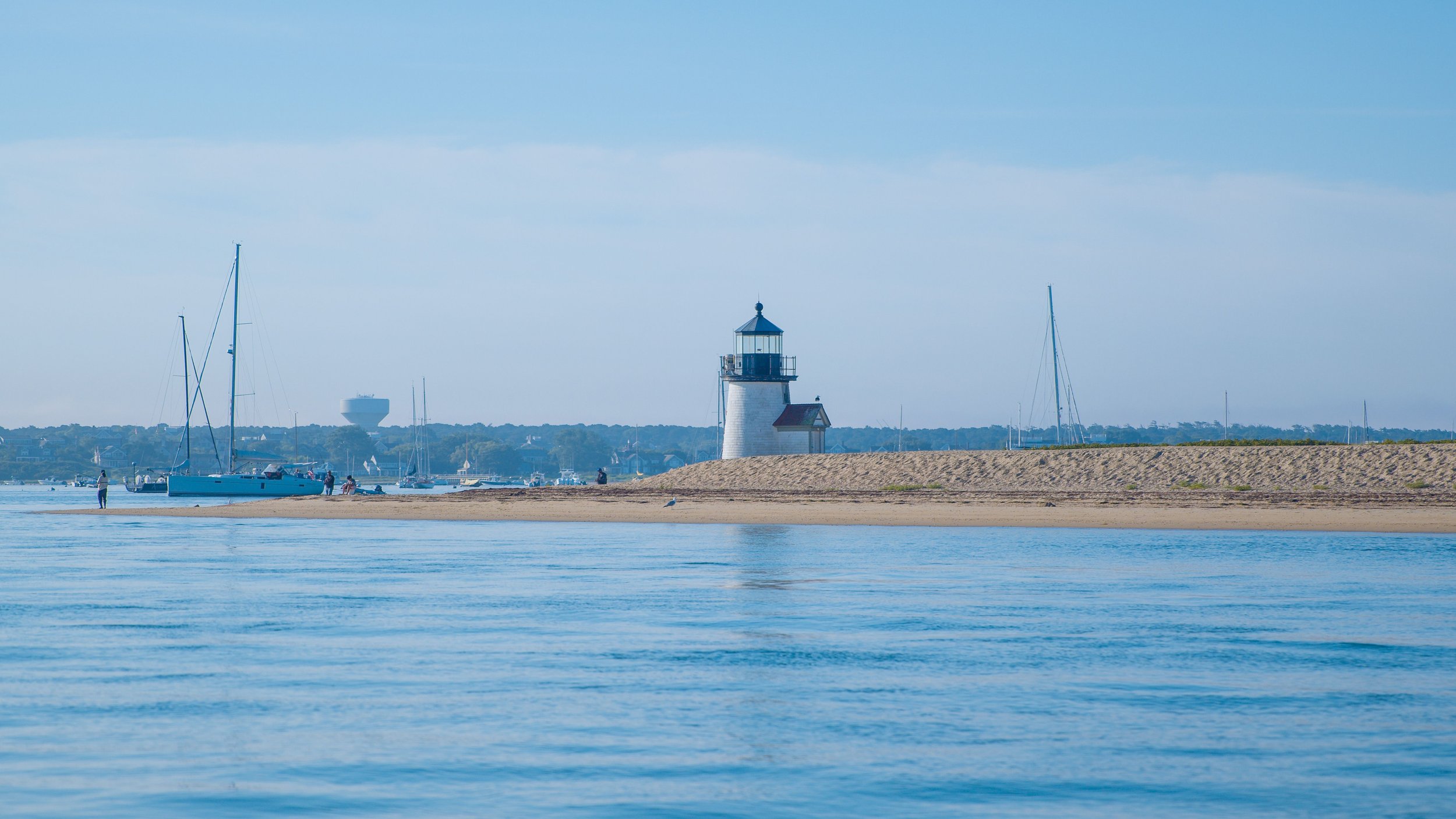
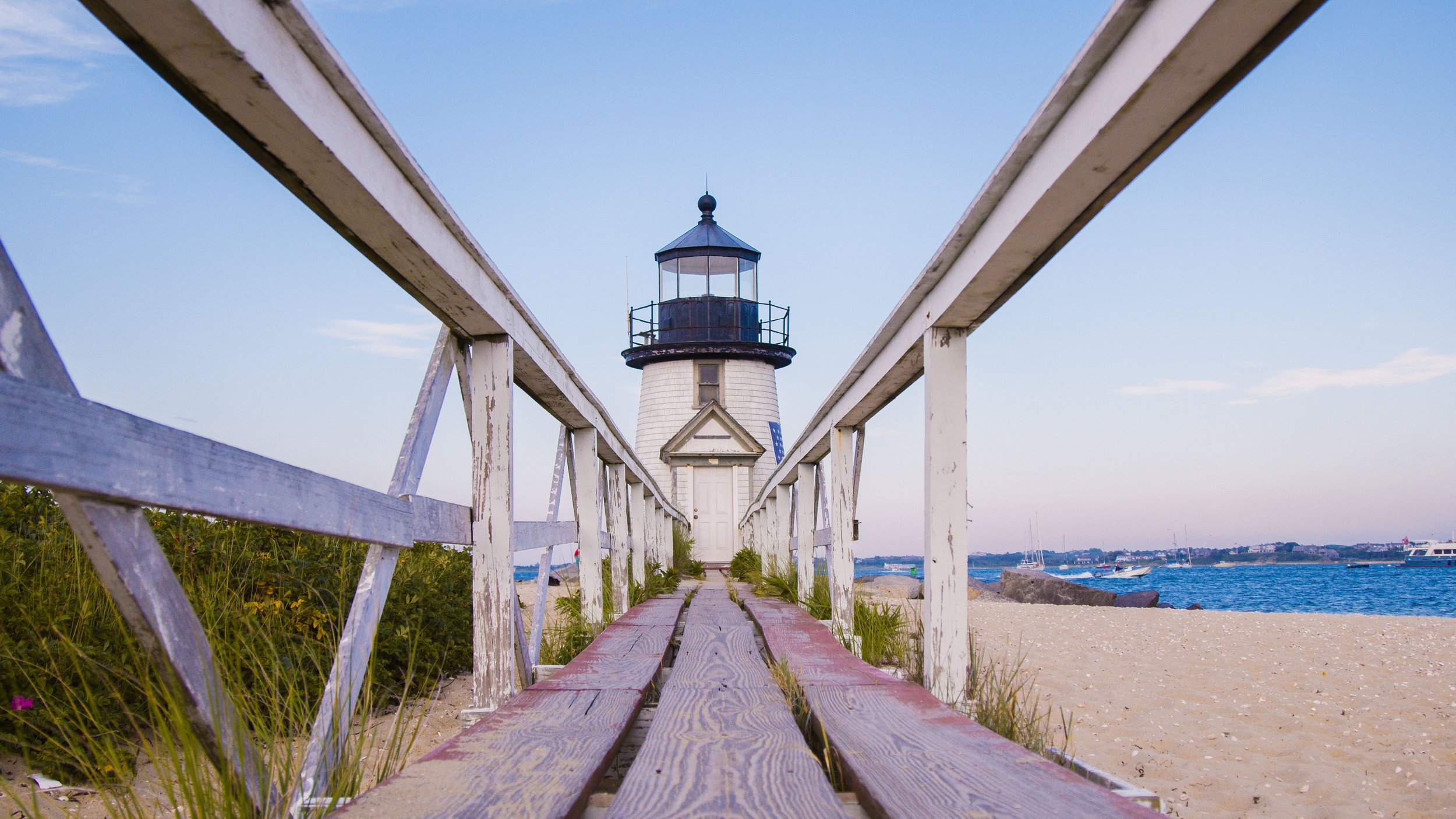
The Brant Point neighborhood is home to the Brant Point Lighthouse. Originally built in 1746, the lighthouse underwent more than five reconstructions as a result of fires and storms. The most recent iteration, built in 1901, is what still stands today—an iconic landmark symbolizing arrival to the island for sailors, fisherman, and the thousands of island locals and visitors rounding the point by ferry each day. It’s the second oldest lighthouse in the U.S.
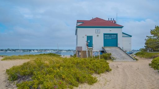
Primarily residential, the Brant Point study area also contains the prominent White Elephant Hotel, the U.S. Coast Guard Station, several B&Bs and inns, the Nantucket Yacht Club, Children’s Beach, a handful of shops and restaurants, and the town’s stormwater management system.
Much of the neighborhood was built on wetlands and thus, the area is one of the most vulnerable to increased storm-related and sunny day flooding. The existing wetland is owned by the Nantucket Conservation Foundation.
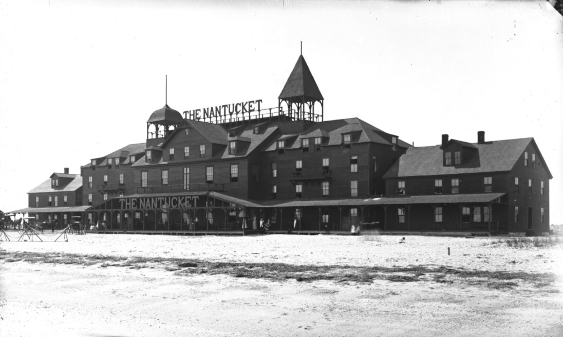
Historic Brant Point: While the Brant Point Lighthouse station has served Nantucket islanders and visitors coming and going since it was established in 1746, the low-lying area of salt marsh meadow to the north of town remained largely undeveloped through the 1880s. When the Nantucket Hotel & Resort opened its doors in the neighborhood in 1891, it was among one of the first establishments marking Nantucket as a tourist destination.
Brant Point Today: By the early 20th century, the majority of Brant Point’s waterfront was filled with hotels and large estates. The rest of the neighborhood began to fill with family homes through the 1940s and 1950s, among them many notable Americans including U.S. politician John Kerry. Today, Brant Point remains one of the most desirable island areas to buy and rent due to its proximity to both town and the water, while also maintaining a sense of privacy.
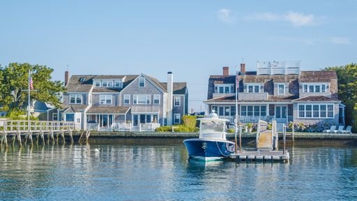
Washington Street
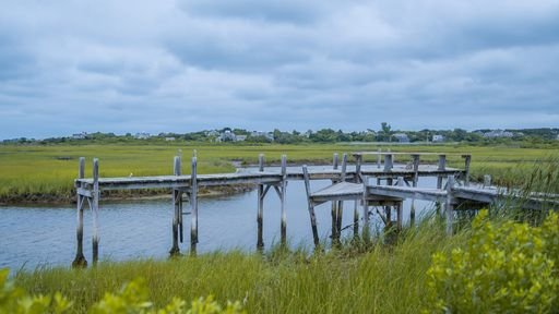
Washington Street is the main artery for traffic in and out of town and is the only corridor wide enough for large trucks bringing food and fuel to every other part of the Island. The Creeks and Consue Springs are one of the remaining natural systems (salt marsh) in the downtown area that could be utilized to alleviate future impacts of flooding.
This study area contains natural habitat and historic structures, and will be a key piece of infrastructure for the community's resilience efforts. It includes the Town Pier, the Town Parking Lot, the Maria Mitchell Association, residential parcels, and Nantucket Land Bank pocket parks.
Historic Washington Street: From 1881 to 1917, you could pay 60 cents for a roundtrip ticket on the Nantucket Railroad. The train cars would take you from Steamboat Wharf, right along Washington Street and the Creeks all the way to Sconset.
Washington Street Today: By the 1970s, there were about 7,000 cars on the island. Today, that number has increased tenfold. As the main artery in and out of town, the Washington Street corner that spits cars, trucks, bikes, and foot traffic onto Francis Street has seen a dramatic uptick in usage.


Downtown
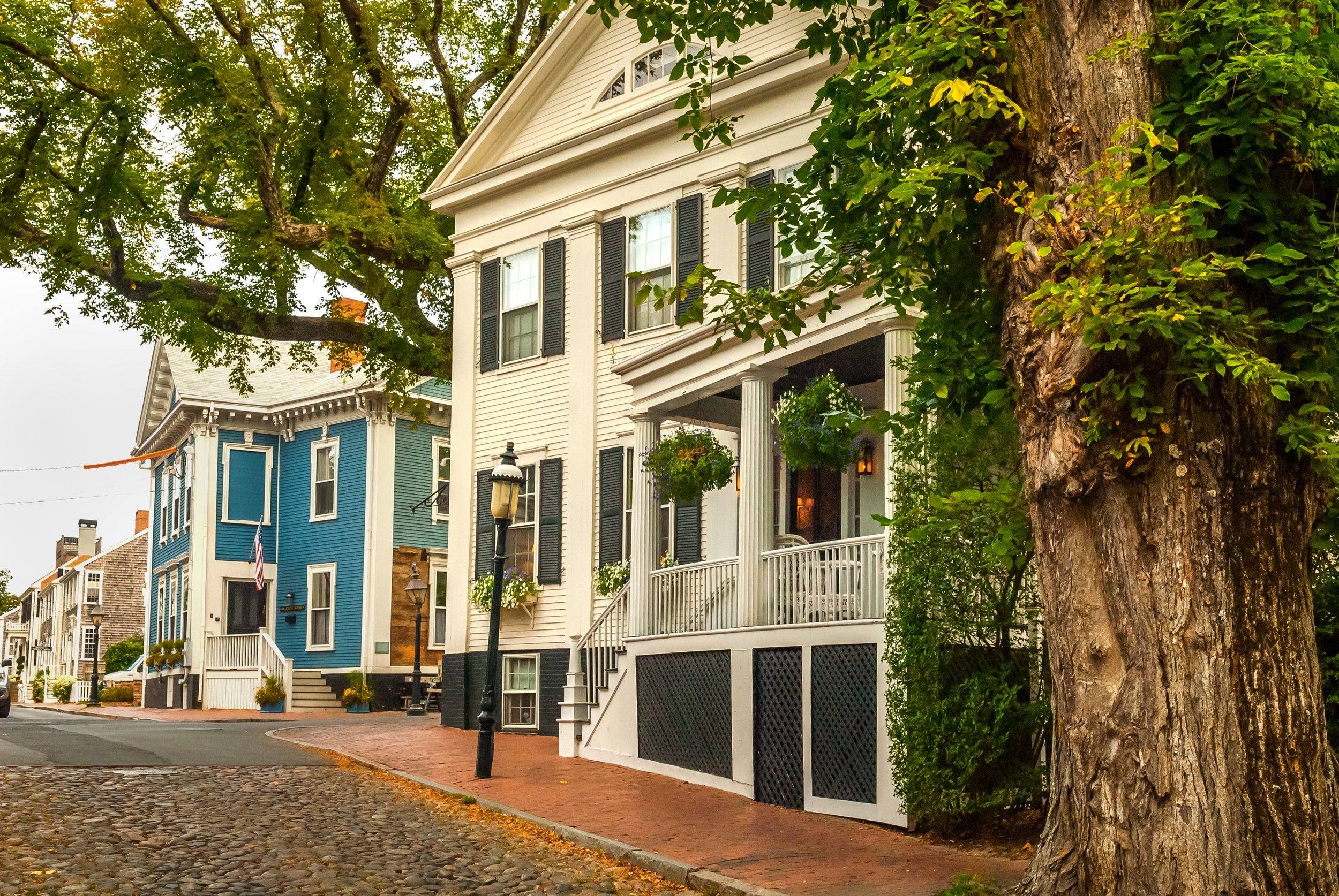
Developed predominantly during the 18th century whaling industry, Nantucket’s historic downtown embodies resilience and preservation. As the heart of the Island, town is filled with historic sites, cobblestone streets, and flocks of tourists during the height of the season. In 1966, the area was listed on the National Register of Historic Places along with the village of Siasconset. In 1975, that designation was expanded to include the entire island.
The Downtown Study Area encompasses Easy Street, the bottom of Main Street, and Candle Street running from Steamboat Wharf, one of two major transportation piers, to Commercial Wharf. It serves as the primary commercial and transportation center in the downtown area. The island’s two ferry services offering transit to the mainland, Steamship Authority and Hy-Line Cruises, operate out of Steamboat Wharf and Straight Wharf, respectively. The Easy Street corridor sits within this study area and is another one of the Island’s most vulnerable to flooding and storm damage.
Historic Downtown Nantucket: As the Whaling capital of the world from the 1700s through the 1830s, Nantucket Harbor served as the epicenter of whaling ships coming and going, preparing for months-long journeys at sea and welcoming them back after a long voyage. At the height of the whaling industry, the harbor was home to 150 whaling ships. The rest of downtown Nantucket was filled with numerous candle factories and warehouses churning out a product that would be shipped around the globe. Many of these warehouses, as well as 250 buildings, were destroyed during the fire of 1846.
Downtown Nantucket: Following the decline of the whaling industry in the 1880s, Nantucket pivoted to a tourism economy and has continued as such ever since. People from around the world are drawn to the natural beauty and magic of Nantucket’s harbor and the historic cobblestone streets filled with boutiques, coffee shops, and renowned eateries. There is hardly a quiet moment in downtown Nantucket during peak season. From April through October, the streets are bustling with seasonal residents, day visitors, seasonal industry employees, and local shop and restaurant owners alike.
Nantucket Maps


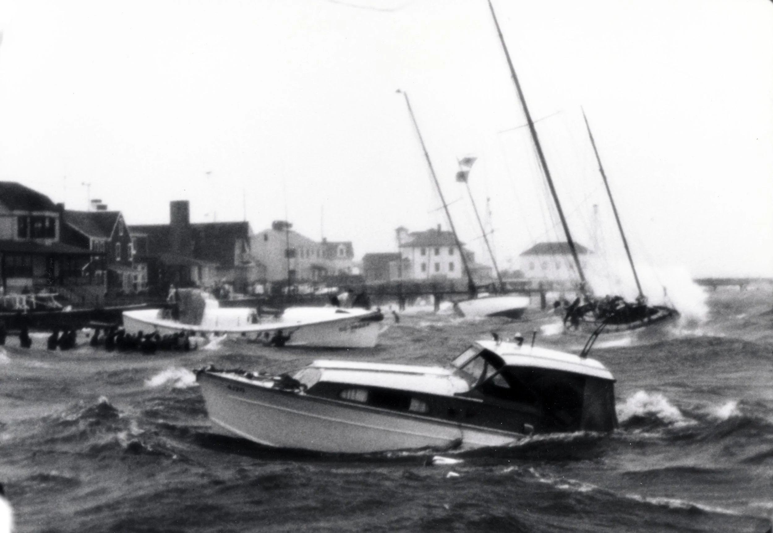
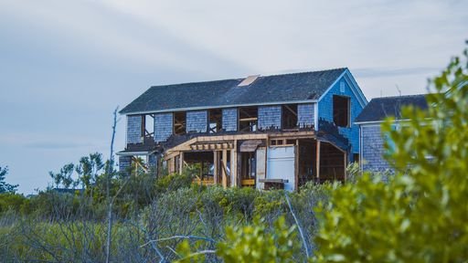
Historic Photos


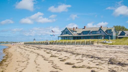
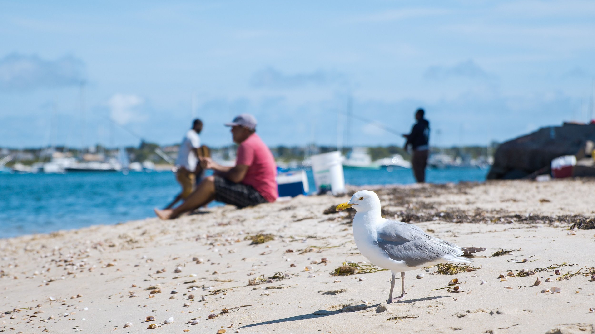
Contemporary Photos


Sources: